Route 66 – Day 9
And here we are! The final day! (sorry for the delay in posting).
The day began in Arizona, and we knew we had a lot of miles to cover. We needed to reach the Santa Monica Pier by midnight, so we could catch our plane the next morning. We were up bright and early, ate breakfast at the hotel, and packed a couple bananas, a pear, and bagels in case we didn’t have time to stop for lunch or dinner.
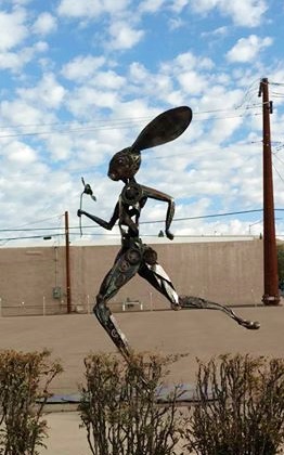
Just as we were leaving town, we drove past this rabbit statue.
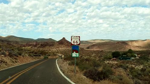
With the town behind us, this was our view:
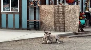
Just outside of Oatman, we saw this sign:
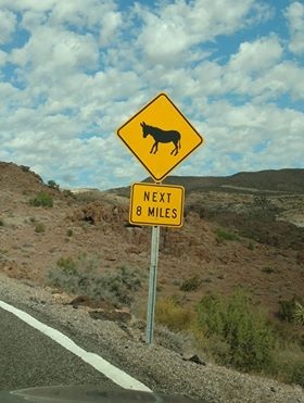
Really? Eight miles of donkeys? We kept our eyes peeled and were rewarded when we reached the little town of Oatman. Done up like a western frontier and mining town, it’s a cool little tourist stop. If we’d had more time we would have shopped and taken more pictures.
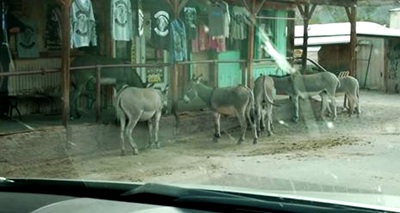
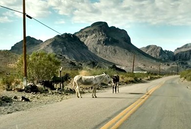
Because here there be donkeys! (sorry for the blurry window)
And these three, who were on the other side of town, ignoring the tourists.
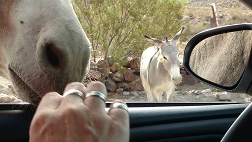
Remember that pear we saved from the hotel breakfast?
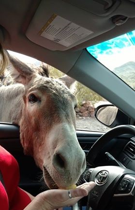
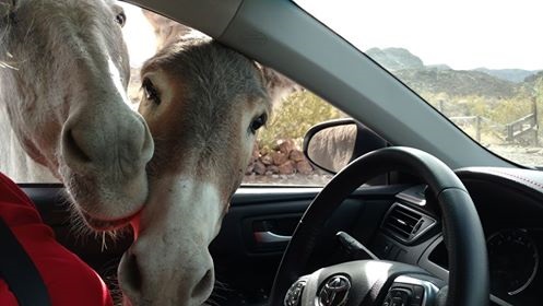
Donkeys like pears!
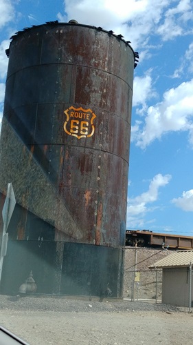
The next stretch of the Route posted that there were no trucks allowed on the road. We pulled up our map to see why:
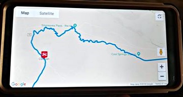
Okay, then. Time to take on some hairpin corners with no shoulders, no guardrails, while climbing and descending cliffs. We got video of it. When I recap, I’ll share it. For now, here’s a taste of it before the climb:
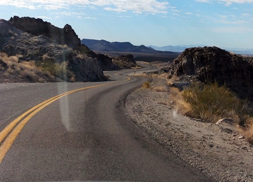
Most. Fun. Ever! I LOVED driving this twisty thing, even though I never topped 35 mph. If you drive the Route, make sure you go through here. If you’re afraid of heights or of falling off roads, be sure you’re the driver not the passenger. Russ admitted that he was saying his prayers only once, heh.
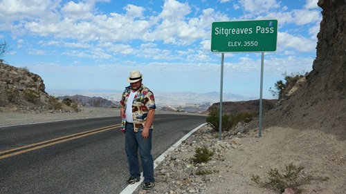
Before we took the downhill part of the road, we stopped at the summit to snap a pic:
We finally crossed into California!
Buzzed right through Needles, and ten other little towns.
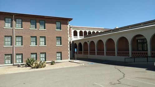
Our next stop was at a Route 66 Museum in Barstow, but it was closed. Since it is a part of a railway depot, we stopped in to learn a little more about the historic Harvey Houses.
This Harvey House is the largest and the most disaster-prone. Built as an inn/entertainment venue/restaurant (it once contained a pool and bowling ally) for people traveling the railroads back in 1885. It has burned down three times, been rebuilt (the last time fitted with electricity to shut down the possibility of more fires) and then suffered an earthquake that knocked down half the structure. Even though it’s only half as large as it once was, it’s still the largest Harvey House.
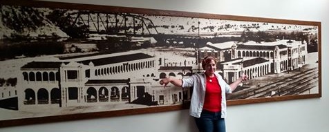
The section of the photo on the left (where I’m giving it the thumbs down) is all gone. The section on the right of the photo is still standing.
They provided this excellent photo-op:
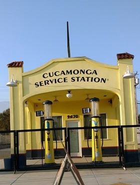
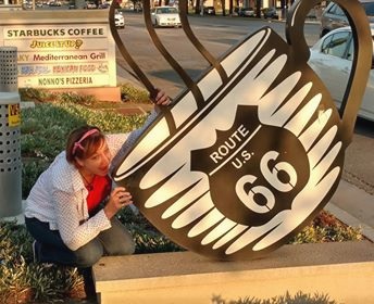
We zoomed through Cucamonga
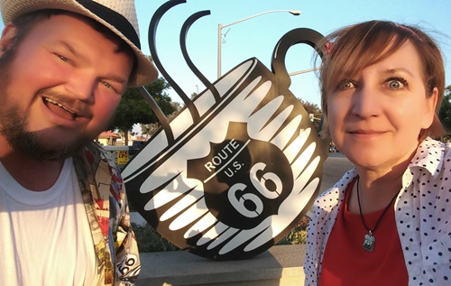
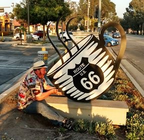
And by the time we hit Upland, we needed a giant cup of coffee. As fate would have it:
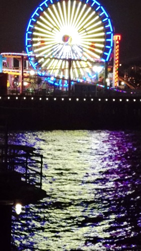
It took us five hours to drive Route 66 from San Bernardino to Santa Monica. It took us through a lot of neighborhoods and cities across the LA Basin.
Did we make it to the Santa Monica Pier before midnight?
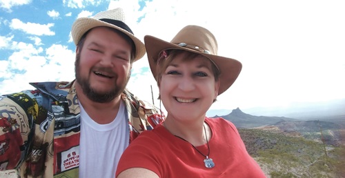
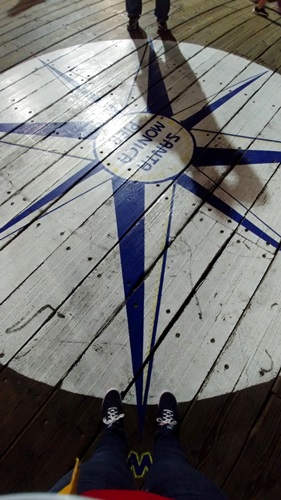
Yes, we did! Here we are standing on the east and west points of the compass:
And here, finally, FINALLY, my friends, we made it to the end of the road:
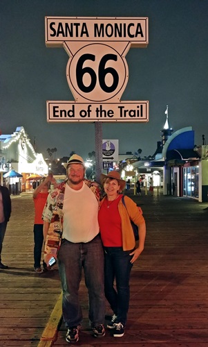
It was an amazing, exhausting, ridiculous, wonderful trip. I’ll be doing a recap and a list of tips in the next couple days, so come on back and tune in for a sum-up of our adventures driving the Mother Road.
3 Comments
Eileen
Loved every bit of your amazing, discriptiive,fun,blog! Wish you were taking another trip soon just so I could tag along again. Thank you so much. I’m sure it took a lot of discipline to write as often as you did.
Dezi Miller
Wow what an amazing adventure!! Looks like that coffee cup is just what you needed to make it to the end. Thank you for sharing! 🦇💙🦇
Frances
Really enjoyed your Route 66 travel itinerary and write up. You wear almost as much silver on your hands,as I do.