Route 66 – Day 7
We made it a week!
Day Seven started with a debate over the cool morning temperature of 51F (10c) and the relative sanity of jumping into 61F (16c) water. We tabled the discussion until we reached the Blue Hole, a natural spring out in the middle of Santa Rosa, New Mexico. The Blue Hole is 80 feet deep (25 meters) and used by scuba divers. No, really.
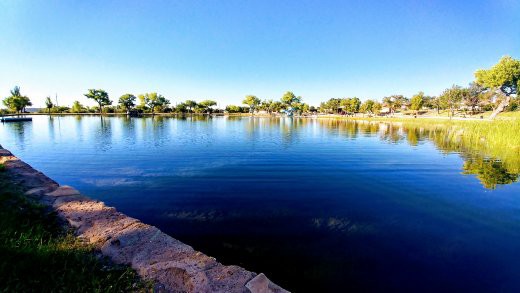
We walked out to the edge of the diving platform. We had our swim suits ready, but decided a nice stroll along the spring would be bracing enough. Since we dipped our hands in, can say we officially got “in” it?
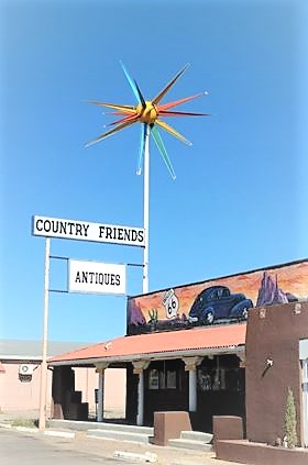
A couple excellent vintage motel signs that still look great

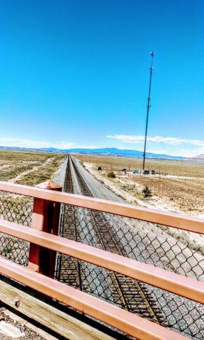
Next up was a section of road that should have been named “To Hell”. We literally paused at the mouth, and double-triple checked our map to make sure we were on the Route. It was a pothole riddled gravel track that appeared to disappear off into the sagebrush. Did we drive it? Of course we did!
This was the slowest we’ve gone on the Route, down to ten-miles-an-hour, but darn-it, we stayed on the Route!! (Also met a fella going the other way who rolled down his window to ask us if the road really was the Route and did it actually go through to somewhere. Our answer: yes, and yes.)
Train tracks before “To Hell”
We then drove Dead Man’s Curve three times. Why did we keep turning around? Because there’s a little stretch of road outside of Carnuel with grading in the pavement that creates the song “America the Beautiful” if you drive the road at 45 miles per hour. We did it twice! If I remember when I recap the trip, I’ll add the video so you can hear it.
We drove through Albuquerque and wow, what a lovely area along the route. We could have stayed there for a day, but had to keep our wheels a’rollin. Doesn’t this look like a post card? (it’s not. I took that pic)
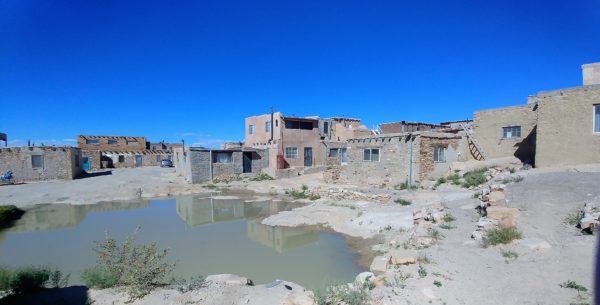
Our next stop was Acoma, the Sky City just outside of Paraje. This is a city built on top of a 365 foot (111 meter) mesa by the Acoma Pueblo who have been living there continuously for over a thousand and fifty years.
Our guide was Jeremy, and he was wonderful answering our questions and sharing the history.
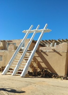
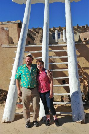
One of the three natural cisterns atop the mesa
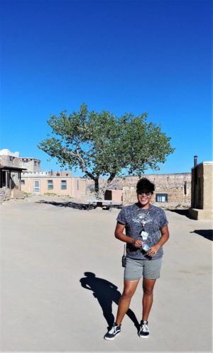
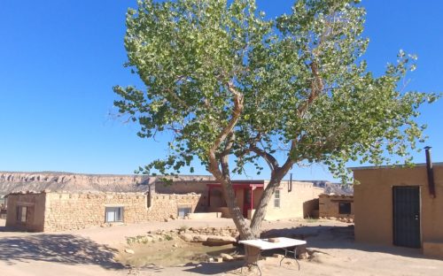
And yes, this is their forest. One tree.
End of the day found us chasing the sunset west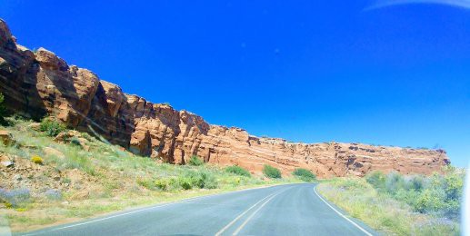
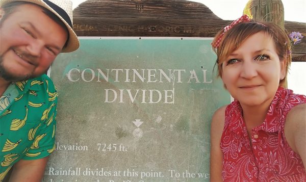
We found the Continental Divide! This is where rainfall divides. All the rain that falls to one side of this point flows toward the Pacific Ocean, and all the rain that falls on the other side of this point flows toward the Atlantic Ocean. (if you’re reading the sign, yes, this is at a 7,245 foot (2,208 meter) elevation. Also, yes, my husband is wearing a banana shirt.)
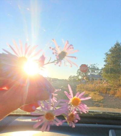
And thus ended our day. A little sunshine, a little rough road that turned into a sweet song, and a spring of desert flowers.
One Comment
Deanne Hicks
Wow no more driving lol I bet long road. Well love all the vintage signs. Kind off takes me back lol. The pot hole don’t sound fun at all kind of like our hunting roads.lol love the flowers at the end nice way to sign out. Good job keeping us on for the adventure .Be safe fellow travelers.